Membership is open to all households, businesses, and organizations, whether owners, landlords, non-residents who own property within the neighborhoods, or commercial tenants who lease within the neighborhoods. Dues are $20/year per household and can be purchased via Venmo or by mailing a check.
Our mission is to improve the quality of life for all who live in our neighborhoods. We serve as a liaison to the City of Sacramento and others. We strive to share information on a timely basis, enabling our neighbors to advocate for policies and actions that benefit the community.
We track local issues such as proposed developments, crime and street safety. We monitor citywide issues like climate acting planning, homelessness and biking and walking safety.
We also support events, activities and projects that help us get to know each other better as neighbors.
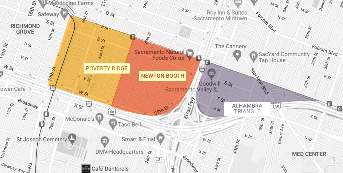
Named for the Newton Booth School, this neighborhood is bounded by R Street to the North, Hwy 50 to the South, Business 80 Freeway to the East, and 24th Street to the West.
Poverty Ridge
Part of a Historic District, this neighborhood is bounded by R Street to the North, Hwy 50 to the South, the 23rd Block to the East, and 19th Street to the West.
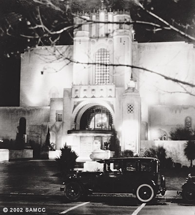
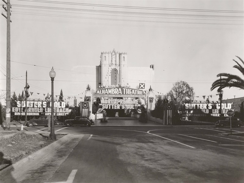
Alhambra Triangle
Home to a charming collection of Arts and Crafts Era homes, this neighborhood is bounded by R Street to the North, Hwy 50 to the South, 34th Street to the East and 30th Street to the West.
In Togetherness
We foster community and assist with events, activities, and projects for our neighbors.
Connecting Our Neighbors
We create opportunities for political representatives, potential candidates, City of Sacramento officals, and lobbyists to meet our residents.
Help us build upon the cultural and historic heritage of the Newton Booth neighborhoods by applying for a membership.
Membership is open to all households, businesses, and organizations, whether owners, landlords, non-residents who own property within the neighborhoods, or commercial tenants who lease within the neighborhoods. Dues are $20/year per household and can be purchased via Venmo or by mailing a check.